
Mississippi Boll Weevil Management Corporation


The Mississippi Boll Weevil Management Corporation developed and maintains a Geographic Information System (GIS).
Beginning in 1992 cotton growers in MS were involved in a volunteer trapping program. Traps were supplied to the grower and trap results were reported to the GIS lab.
History of the Boll Weevil in the United States
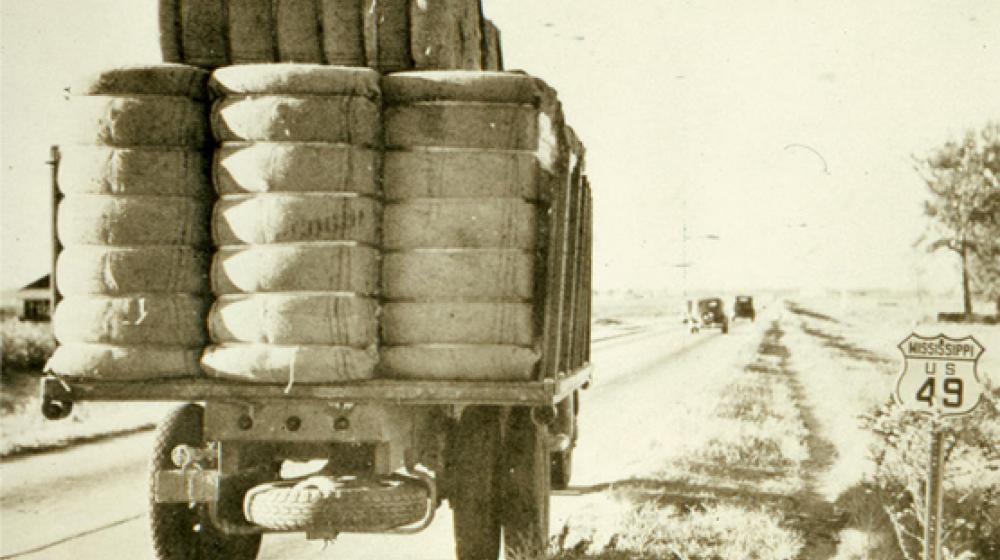
The Boll Weevil entered the United States near Brownsville, TX in 1892. The first boll weevil found in Mississippi was on September 20, 1907, by W. D. Hunter. By 1915 the boll weevil had covered the entire state. By 1920 all areas to the East were infested. The boll weevil had covered 600,000 square miles in approximately 30 years. As the weevil advanced across the South land values plummeted and large numbers of farm workers migrated to northern industrial states. Since the boll weevil entered the United States a century ago estimates of cost to US cotton producers is estimated to be approximately $13 billion. Current estimates place the loss at approximately $300 million annually. In 1958 the National Cotton Council passed a resolution addressing the economic hardship caused by the Boll Weevil. In 1960 the Boll Weevil Research Laboratory was established at MS State University to develop trapping, suppression, and reproduction control techniques. In 1977 a pilot boll weevil eradication project was conducted in south Mississippi. This pilot project was successful and prepared the way for a full eradication program.
In 1983 a full eradication program was started in North Carolina and South Carolina. Grower referenda were held by Georgia, Florida, and Alabama in 1987. After referenda were approved eradication efforts began in these states. In August 1993 the eradication program moved into central and west Alabama. During this same period, the USDA started programs in the far west, SW Arizona, southern California, and part of NW Mexico.
Boll Weevil Eradication 2021: We can’t stop now
The National Buffer Zone represents the battle front line that must be maintained as cooperation with Tamaulipas, Mexico enables the completion of U.S. eradication of the boll weevil. This is a short version of the video from the National Cotton Council.
Mississippi Boll Weevil Management Corporation
Box 9776
Mississippi State, MS 39762-9776
phone: 662-325-2993
Email: msbwmc@ext.msstate.edu
Mississippi Boll Weevil Management Corporation does not discriminate on the basis of race, color, ethnicity, sex, pregnancy, religion, national origin, disability, age, sexual orientation, gender identity, genetic information, status as a U.S. veteran, or any other status protected by applicable law.


